Article Image
read
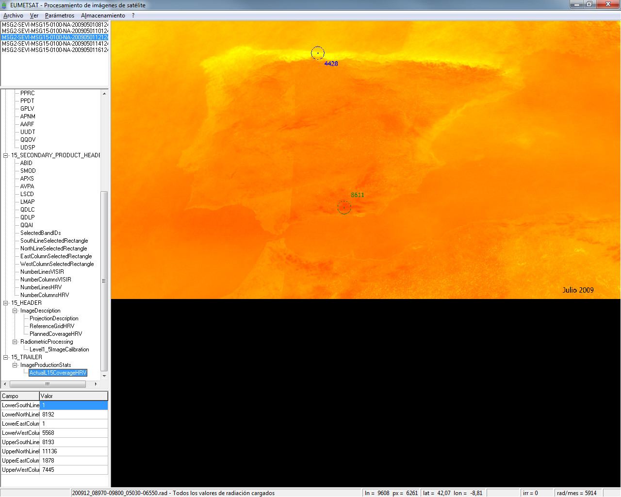
I’ve participated in a project of the University of Vigo (Spain) that aims to implement the Heliosat-2 method, allowing to estimate solar radiation from images taken with the MSG-2 satellite.
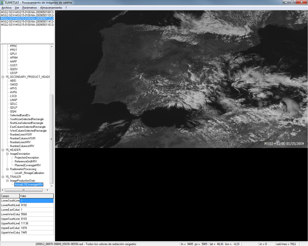
As a summary, the Heliosat-2 method combines values of satellite images, altitude and turbidity to map solar radiation at the ground level.